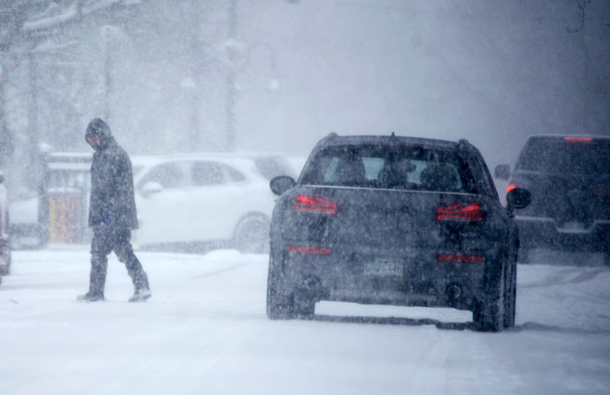
Bomb cyclone 2022: Cyclone threatens East Coast with nor’easter bringing snow and ice

A “bomb cyclone” is on track to barrel up the US East coast this weekend, bringing snow and ice, powerful winds and risk of flooding, threatening power outages and disrupting air and road travel.
The National Weather Service forecasts heavy snow, strong winds and coastal flooding along portions of the Mid-Atlantic as a surge of Arctic air engulfs the region on Friday and into the weekend.
Tens of millions of Americans are under a winter storm watch – which signals a potential for moderate to heavy snow – in effect from North Carolina to Massachusetts.
New York and New Jersey metropolitan areas are bracing for blizzard-like conditions with powerful winds.
Parts of Eastern Massachusetts could see total snow acclamations up to 12 to 18 inches, and up to two feet of snow south of the Boston area .
The National Weather Service predicted the possibility of 6 to 12 inches of snow between Friday night and Saturday evening, though the agency said “there continues to be greater than usual forecast uncertainty with the track of this storm, and the axis of heaviest snowfall may shift in subsequent forecast updates.”
A so-called “bomb cyclone” is caused by rapid drop in air pressure, and often occurs close to the ocean because it requires warm moist air colliding with cold, dry air, along with volatile weather from the jet stream.
Sub-freezing low temperatures will also make it as far south as central Louisiana, and gusty winds will make it feel even colder in most spots.
By Thursday morning, the brunt of the cold air shifted from the Northeast and Mid-Atlantic. Lows will once again drop below zero from the central Appalachians to New England.
“Blustery” northwesterly winds will bring sub-zero temperatures into the upper Midwest by Friday morning, according to the National Weather Service.
Winds are expected to strengthen by Saturday morning up and down the East Coast as a large cyclone intensifies on its northeast track along the coast.
Eastern Long Island and southeast Connecticut could see gusts of 55 mph, and New York City and surrounding areas could see 40 mph gusts.
New England is likely to see the heaviest snowfall, though major cities to the south could also have flurries.
Significant coastal impacts are also possible in the Northeast including coastal flooding of up to 2 feet in some areas, as well as beach erosion.
Forecasters warned that travel conditions could be hazardous. Offshore ships risk facing high winds and waves up to 9 feet.
Additional reporting by Alex Woodward


