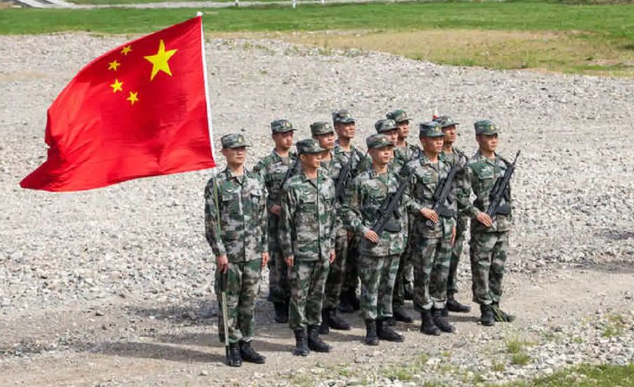
Amid tension with India at LAC, China mobilized PLA troops at Bhutan border
Advertisement
It is not hidden that the People’s Liberation Army (PLA) of China is eyeing to occupy parts of Bhutanese territory and is intentionally indulging in border disputes with Bhutan to increase pressure on the country for solving their border disputes.
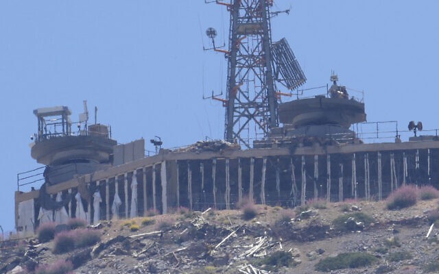
Since the Doklam dispute, China has been preparing roads, helipads and troops near the Bhutan border. Also, in the last few months, China has infiltrated five areas of Western Bhutani territories and claimed a new boundary approximately 40 kilometer inside Bhutan, as per the officials who are aware of the latest developments.
In August, the PLA also infiltrated into the South Doklam area. “We are keeping close eyes on the latest developments at the Indo-China and China-Bhutan border. Since Doklam standoff, PLA is aggressively patrolling at Bhutan-China border and constructing roads, military infrastructure and helipads close to Bhutan border,” said an officer working with Central security establishments.
China claims 318 square kilometers in the western sector and 495 square kilometers in the central sector. China also recently staked claim over the Sakteng Wildlife Sanctuary in Bhutan at the Global Environment Facility (GEF) Council and opposed funding to the project.
Sakteng Wildlife Sanctuary is located in the eastern most part of the country in Trashigang Dzongkhag, Eastern Bhutan, bordering the Indian state of Arunachal Pradesh.
The boundary dispute between China and Bhutan led to the military standoff that took place in 2017 in Doklam.
Chinese claim on the Doklam plateau rests on the 1890 Convention between Great Britain and the Qing dynasty represented by its Resident in Tibet. The Chinese claim that Gipmochi (Gymochen)—mentioned in Article I of the 1890 Convention as the eastern extremity of the Sikkim-Tibet boundary—should automatically be the tri-junction.
As per Srinath Raghavan, a senior person at the Centre for Policy Research, New Delhi, ”The boundary of the Sikkim and Tibet shall be the crest of the mountain range separating the Waters flowing into Sikkim Teesta and its affluents from the waters flowing into the Tibetan Mochu and northwards into other rivers of Tibet. Only then does it identify Gipmochi as the starting point.
“The principle of defining the boundary therefore was the highest watershed: the highest line of mountains separating the rivers flowing on either side. This is the most logical way of drawing a boundary in mountainous regions. However, subsequent surveys showed that Mount Gipmochi is not on the highest watershed in the area.”
The archival documents also suggest that the discussion about the control of Gipmochi hill was between Sikkim and Bhutan. China was not the party in the border talk.
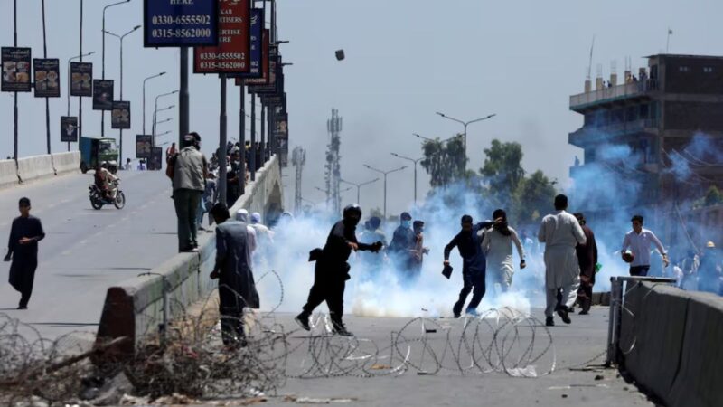
China has been using coercive tactics in pursuit of territorial and maritime claims in the South and East China Seas, as well as along its border with India and Bhutan.
Advertisement